Rick Steves France Planning Map Including Paris City Maps
-
- Englisch ausgewählt
Fr. 17.90
inkl. gesetzl. MwSt.,
-
Kostenlose Lieferung ab Fr. 30 Einkaufswert
Schweiz & Liechtenstein:
Versandkostenfrei ab Fr. 30.00
Versandkosten bis Fr. 30.00: Fr. 3.50Andere Lieferländer
Fr. 18.00 unabhängig vom Warenwert
Beschreibung
Produktdetails
Einband
Karte
Erscheinungsdatum
09.04.2024
Verlag
Little, Brown and CompanyMaße (L/B/H)
23.8/10.6/0.3 cm
Gewicht
5 g
Auflage
2nd edition
Sprache
Englisch
ISBN
978-1-64171-593-5
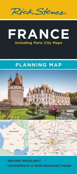
Designed for Rick Steves fans, this map highlights France's best destinations in a colorful, easy-to-use format on high-quality paper:
- Cuts the Clutter: While big cities are included for navigational purposes, this map focuses on Rick’s favorite spots for travelers
- Guidebook-Friendly: At a glance, all the places you read about in Rick Steves France stand out in a crisp, easy-to-read format
- Durable Construction: This map is printed on tearproof paper to last over many trips
- Road or Sea: Includes highways, ferry routes, bus stops, and train lines for easy route-planning
- The Back's Even Better: The reverse side includes a detailed city-center map of Paris locating sights, hotels, and restaurants, plus a handy Paris Metro map
Kundinnen und Kunden meinen
Verfassen Sie die erste Bewertung zu diesem Artikel
Helfen Sie anderen Kund*innen durch Ihre Meinung