Beschreibung
Produktdetails
Einband
Taschenbuch
Erscheinungsdatum
17.04.2015
Verlag
HarperCollinsSeitenzahl
104
Maße (L/B/H)
21.6/14.9/0.9 cm
Gewicht
167 g
Sprache
Englisch
ISBN
978-1-84348-274-1
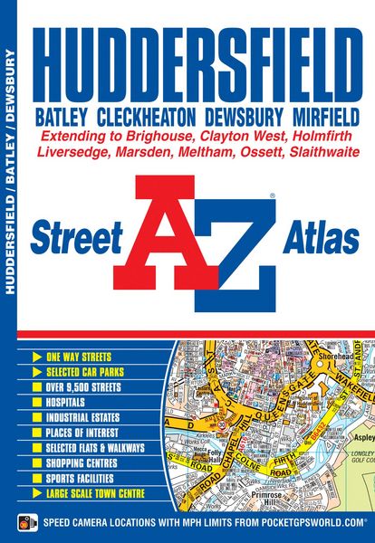
This atlas of Huddersfield features 65 pages of coloured street mapping and covers an area extending to Cleckheaton, Birstall, Batley, Gawthorpe, Ossett, Thornhill, Emley, Clayton West, Skelmanthorpe, Denby Dale, Scholes, Holmfirth, Netherthong, Meltham, Marsden, Slaithwaite, Stainland, Southowram, Brighouse and Hightown.
Also included is a large scale town centre plan of Huddersfield. Post code districts are featured on the street mapping. The index section lists streets, selected flats, walkways and places of interest, place, area and National Rail station names, hospitals and hospices covered by this atlas.
Kundinnen und Kunden meinen
Verfassen Sie die erste Bewertung zu diesem Artikel
Helfen Sie anderen Kund*innen durch Ihre Meinung