• Produktbild: Geodetic and Geophysical Observations in Antarctica
  • Produktbild: Geodetic and Geophysical Observations in Antarctica

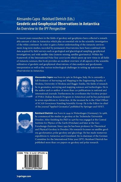
Geodetic and Geophysical Observations in Antarctica An Overview in the IPY Perspective

Fr. 242.00

inkl. gesetzl. MwSt., Versandkostenfrei


Beschreibung

Produktdetails

Einband

Taschenbuch

Erscheinungsdatum

19.10.2010

Abbildungen

XX, 292 illus., schwarz-weiss Illustrationen

Herausgeber

Alessandro Capra + weitere

Verlag

Springer Berlin

Seitenzahl

356

Maße (L/B/H)

23.5/15.5/2.1 cm

Gewicht

569 g

Auflage

Softcover reprint of hardcover 1st ed. 2008

Sprache

Englisch

ISBN

978-3-642-09428-6

Beschreibung

Rezension

From the reviews:

“This book is a set of 20 research articles written by 80 authors from 12 countries. … They successfully guided and edited this book, which may be considered an important step in discovery and better recognition of the continent. … Subsequent articles, in a concise but sufficiently informative style, deal with issues of different scale and importance. … interesting to all geoscientists active in polar regions as well as to graduate students in geophysics and geodesy for the many methodological aspects touched upon by the authors.” (Marek Lewandowski, Pure and Applied Geophysics, Vol. 168, 2011)

Portrait

Professor Alessandro Capra is a faculty member in the University of Modena's Civil and Mechanical Engineering Department.

Dr-Ing Reinhard Dietrich is a professor at the Institute of Planetary Geodesy at the Technical Universtiy of Dresden.

Produktdetails

Einband

Taschenbuch

Erscheinungsdatum

19.10.2010

Abbildungen

XX, 292 illus., schwarz-weiss Illustrationen

Herausgeber

Verlag

Springer Berlin

Seitenzahl

356

Maße (L/B/H)

23.5/15.5/2.1 cm

Gewicht

569 g

Auflage

Softcover reprint of hardcover 1st ed. 2008

Sprache

Englisch

ISBN

978-3-642-09428-6

Herstelleradresse

Springer-Verlag GmbH
Tiergartenstr. 17
69121 Heidelberg
DE

Email: ProductSafety@springernature.com

Kundinnen und Kunden meinen

0 Bewertungen

Informationen zu Bewertungen

Zur Abgabe einer Bewertung ist eine Anmeldung im Konto notwendig. Die Authentizität der Bewertungen wird von uns nicht überprüft. Wir behalten uns vor, Bewertungstexte, die unseren Richtlinien widersprechen, entsprechend zu kürzen oder zu löschen.

Die Bewertungen sind nach Format, Anzahl Sterne und Datum sortiert.

Verfassen Sie die erste Bewertung zu diesem Artikel

Helfen Sie anderen Kund*innen durch Ihre Meinung

Kundinnen und Kunden meinen

0 Bewertungen filtern

  • Produktbild: Geodetic and Geophysical Observations in Antarctica
  • Produktbild: Geodetic and Geophysical Observations in Antarctica
  • A Precise Reference Frame for Antarctica from SCAR GPS Campaign Data and Some Geophysical Implications.- Technologies to Operate Year-Round Remote Global Navigation Satellite System (GNSS) Stations in Extreme Environments.- VLNDEF Project for Geodetic Infrastructure Definition of Northern Victoria Land, Antarctica.- Communications Systems for Remote Polar GNSS Station Operation.- Current Status and Future Prospects for the Australian Antarctic Geodetic Network.- Geodetic Research on Deception Island and its Environment (South Shetland Islands, Bransfield Sea and Antarctic Peninsula) During Spanish Antarctic Campaigns (1987–2007).- Validation of the Atmospheric Water Vapour Content from NCEP Using GPS Observations Over Antarctica.- Geodynamics of the Tectonic Detachment in the Penola Strait (Antarctic Peninsula, Archipelago of Argentina Islands).- GPS and Radiosonde Derived Precipitable Water Vapour Content and its Relationship with 5 Years of Long-Wave Radiation Measurements at “Mario Zucchelli” Station, Terra Nova Bay, Antarctica.- Results of the Investigations of the GNSS Antennae in the Framework of SCAR GIANT Project “In Situ GNSS Antenna Tests and Validation of Phase Centre Calibration Data”.- Atmospheric Impact on GNSS Observations, Sea Level Change Investigations and GPS-Photogrammetry Ice Cap Survey at Vernadsky Station in Antarctic Peninsula.- A Validation of Ocean Tide Models Around Antarctica Using GPS Measurements.- Continuous Gravity Observation with the Superconducting Gravimeter CT #043 at Syowa Station, Antarctica.- Tide Gauges in the Antarctic and sub-Antarctic: Instrumentation and Calibration Issues from an Australian Perspective.- Tidal Gravimetry in Polar Regions: An Observation Tool Complementary to Continuous GPS for the Validation of Ocean Tide Models.- Joint Geophysical Observations of Ice Stream Dynamics.- Geomagnetic Observatories in Antarctica; State of the Art and a Perspective View in the Global and Regional Frameworks.- Structure of the Wilkes Basin Lithosphere along the ITASE01 Geotraverse.- Report on Photogrammetric Research Conducted at the Antarctic Station “Academician Vernadskyy”.- The Contribution of Russian Geodesists and Topographers to Antarctic Mapping.