Spatial interpolation of precipitation case of the Cetina River catchment
-
- Englisch ausgewählt
Fr. 67.90
inkl. gesetzl. MwSt.,
Beschreibung
Produktdetails
Einband
Taschenbuch
Erscheinungsdatum
14.10.2010
Verlag
LAP LAMBERT Academic PublishingSeitenzahl
96
Maße (L/B/H)
22/15/0.7 cm
Gewicht
161 g
Auflage
1. Auflage
Sprache
Englisch
ISBN
978-3-8433-6266-5
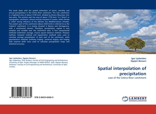
This book deals with the spatial estimation of storm, monthly and annual precipitation in the Cetina River catchment. The river catchment is a highland area of about 4140 km2, divided by Dinara Mountain into two parts. The western part has area of about 1720 km2. It is "direct" or topographic catchment, almost entirely situated in Croatia, while climate is under strong influence of the Adriatic Sea (Mediterranean climate). The eastern part of the catchment (about 2420 km2) is referred to as the "indirect" catchment. It is mainly situated in Bosnia and Herzegovina, with a continental climate. Therefore, precipitation regime is very complex and variable over the catchment area. A few conventional methods (arithmetic average, inverse square distance method, Thiessen method, isohyetal method and hypsometric method) were used to calculate average precipitation of each part of the catchment, while geostatistical methods (ordinary kriging, universal kriging and kriging with external drift) were used to calculate precipitation maps and statistical accuracy.
Noch keine Bewertungen vorhanden
Verfassen Sie die erste Bewertung zu diesem Artikel
Helfen Sie anderen Kundinnen und Kunden durch Ihre Meinung.