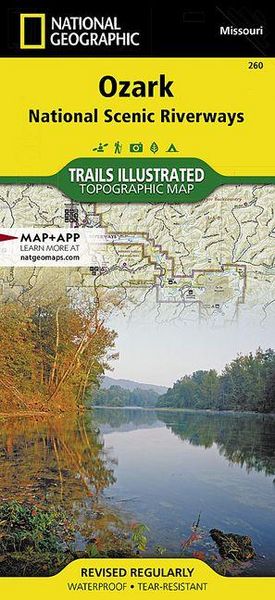
Ozark National Scenic Riverways Map
-
- Englisch ausgewählt
Fr. 22.90
inkl. gesetzl. MwSt.,
-
Kostenlose Lieferung ab Fr. 30 Einkaufswert
Schweiz & Liechtenstein:
Versandkostenfrei ab Fr. 30.00
Versandkosten bis Fr. 30.00: Fr. 3.50Andere Lieferländer
Fr. 18.00 unabhängig vom Warenwert
Beschreibung
Produktdetails
Einband
Karte
Erscheinungsdatum
01.01.2019
Verlag
National geographicMaße (L/B/H)
22.8/10.9/0.7 cm
Gewicht
101 g
Auflage
2019th edition
Sprache
Englisch
ISBN
978-1-56695-359-7
Expertly rendered on National Geographic's wall map of Maine is the picturesque forested topography of the Pine Tree State. The entire state is visualized with vibrant colors and stunning shaded relief, depicting mountains, forests and waterways, from its border with New Hampshire in the west, along the Canadian border to the north and its back down its rugged eastern Atlantic Ocean coastline. The precise location of hundreds of places are pinpointed on the map, including cities and towns, national and state parks, lakes and bays, historic sites, ski resorts, mountain peaks and other points of interest. In addition, major infrastructure networks, including roads, highways, airports and ferry routes are clearly labeled.
The map is encapsulated in heavy-duty 1.6 mil laminate which makes the paper much more durable and resistant to the swelling and shrinking caused by changes in humidity. Laminated maps can be framed without the need for glass, so the frames can be much lighter and less expensive.
- Map Scale = 1:524,329
- Sheet Size = 30.25" x 40.5"
Noch keine Bewertungen vorhanden
Verfassen Sie die erste Bewertung zu diesem Artikel
Helfen Sie anderen Kundinnen und Kunden durch Ihre Meinung.