Beschreibung
Produktdetails
Einband
Gebundene Ausgabe
Erscheinungsdatum
31.05.2012
Verlag
Oxford University PressSeitenzahl
176
Maße (L/B/H)
40.8/30.6/1.8 cm
Gewicht
984 g
Sprache
Englisch
ISBN
978-0-19-913698-8
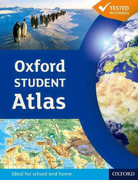
The Oxford Student Atlas is an essential resource for exam success, featuring stunning satellite images, comprehensive country data, and easy-to-read colourful mapping in an accessible layout based on research into how students use maps.
Key Features:
• Stunning Visuals: High-quality satellite images and clear, colourful mapping for easy understanding.
• Exam Specification Coverage: Includes key themes such as earthquakes, volcanoes, climate change, economic activity, development, and globalisation.
• Comprehensive Mapping: Detailed coverage of the British Isles, Europe, and the world.
• Student-Friendly Layout: Accessible design based on research into how students interact with maps.
• Ideal for Exam Courses: Perfect companion for A Level and GCSE Geography revision.
This atlas combines rigorous content with engaging visuals, making it the ideal reference for students preparing for geography exams."
Kundinnen und Kunden meinen
Verfassen Sie die erste Bewertung zu diesem Artikel
Helfen Sie anderen Kund*innen durch Ihre Meinung