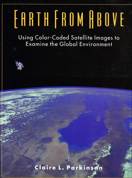
Earth From Above Using Color-Coded Satellite Images to Examine the Global Environment
-
- Englisch ausgewählt
Fr. 61.90
inkl. gesetzl. MwSt.,
Beschreibung
Produktdetails
Einband
Taschenbuch
Erscheinungsdatum
30.07.1997
Verlag
University Science BooksSeitenzahl
192
Maße (L/B/H)
26.9/20.5/1.1 cm
Gewicht
567 g
Auflage
1997
Sprache
Englisch
ISBN
978-0-935702-41-5
Written by a NASA scientist, this is the first book specifically aimed at teaching the reader how to interpret the colour-coded maps produced from raw satellite data. The author identifies six major environmental topics - atmospheric ozone, polar sea ice, continental snow cover, sea surface temperatures, land vegetation and volcanoe - for which radiative data collected by satellites is providing new global information. By learning to read the illustrative examples, the reader should become capable of reading and understanding all well-labelled, colour-coded satellite images.
Noch keine Bewertungen vorhanden
Verfassen Sie die erste Bewertung zu diesem Artikel
Helfen Sie anderen Kundinnen und Kunden durch Ihre Meinung.