3D Geoscience Modeling Computer Techniques for Geological Characterization
-
- Taschenbuch ausgewählt
- eBook
-
Sprache:Englisch
Fr. 137.00
inkl. gesetzl. MwSt.,
Beschreibung
Produktdetails
Einband
Taschenbuch
Erscheinungsdatum
19.01.2012
Verlag
Springer BerlinSeitenzahl
311
Maße (L/B/H)
23.5/15.5/1.8 cm
Gewicht
498 g
Auflage
Softcover reprint of the original 1st ed. 1994
Sprache
Englisch
ISBN
978-3-642-79014-0
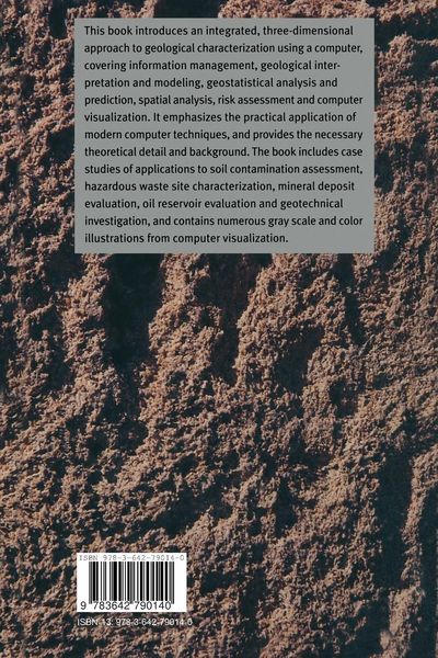
This book is a result of a career spent developing and applying computer techniques for the geosciences. The need for a geoscience modeling reference became apparent during participation in several workshops and conferences on the subject in the last three years. For organizing these, and for the lively discussions that ensued and inevitably contributed to the contents, I thank Keith Turner, Brian Kelk, George Pflug and Johnathan Raper. The total number of colleagues who contributed in various ways over the preceding years to the concepts and techniques presented is beyond count. The book is dedicated to all of them. Compilation of the book would have been impossible without assistance from a number of colleagues who contributed directly. In particular, Ed Rychkun, Joe Ringwald, Dave Elliott, Tom Fisher and Richard Saccany reviewed parts of the text and contributed valuable comment. Mohan Srivastava reviewed and contributed to some of the geostatistical presentations. Mark Stoakes, Peter Dettlaff and Simon Wigzell assisted with computer processing of the many application examples. Anar Khanji and Randal Crombe assisted in preparation of the text and computer images. Klaus Lamers assisted with printing. The US Geological Survey, the British Columbia Ministry of Environment, Dave Elliott and others provided data for the application examples. My sincere thanks to all of them.
Noch keine Bewertungen vorhanden
Verfassen Sie die erste Bewertung zu diesem Artikel
Helfen Sie anderen Kundinnen und Kunden durch Ihre Meinung.