Charting the World : Geography and Maps from Cave Paintings to GPS with 21 Activities Geography and Maps from Cave Paintings to GPS with 21 Activities
-
- Einzelkauf Download ausgewählt
-
Sprache:Englisch
-
eBook Format:PDF
- PDF Fr. 21.90 ausgewählt
- ePUB Fr. 17.90
Fr. 21.90
inkl. gesetzl. MwSt.Beschreibung
Produktdetails
Format
Kopierschutz
Ja
Family Sharing
Ja
Text-to-Speech
Nein
Erscheinungsdatum
01.08.2011
Verlag
Zephyr PressSeitenzahl
144 (Printausgabe)
Dateigröße
13639 KB
Sprache
Englisch
EAN
9781569769164
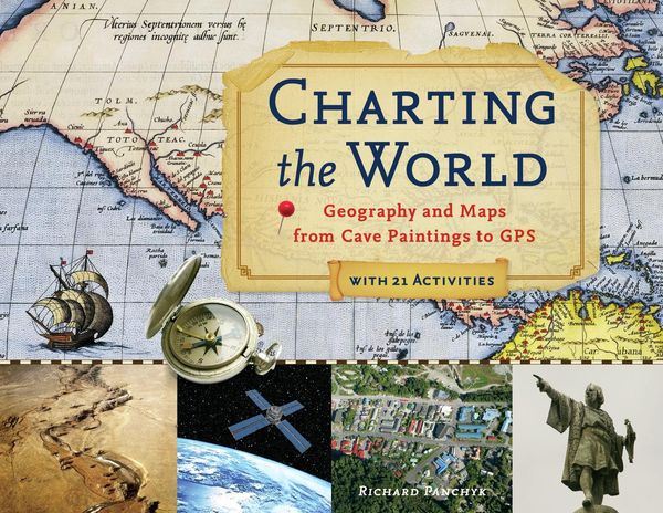
Maps have been a part of human culture since the days of scratching on cave walls, and this richly illustrated history chronicles the road from simple diagrams used to avoid danger to the complex, navigational charts used today. Displaying an array of historic atlases and a variety of cartography styles, this book allows young readers to test their map-reading skills while discovering the intricate beauty and the wealth of information held within. Geographical concepts are spotlighted through an assortment of guided activities--including finding the elevation of hills, plotting a course with a magnetic compass, creating three-dimensional land models using a contour map, and performing a plot survey. Drawing the conclusion that the study of geography and maps is crucial to understanding an ever-changing planet, this handbook discloses the ways in which technological advances in cartography can further discussions on climate change, warfare, environmental conservation, population growth, and other timely topics.
Kundinnen und Kunden meinen
Verfassen Sie die erste Bewertung zu diesem Artikel
Helfen Sie anderen Kund*innen durch Ihre Meinung