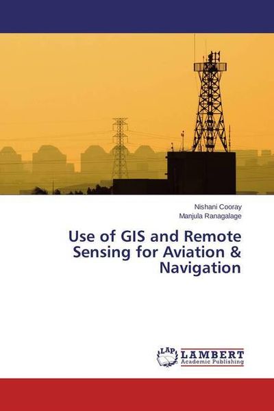
Cooray, N: Use of GIS and Remote Sensing for Aviation & Navi
-
- Englisch ausgewählt
Fr. 42.90
inkl. gesetzl. MwSt.,
Beschreibung
Produktdetails
Einband
Taschenbuch
Erscheinungsdatum
14.08.2015
Verlag
LAP LAMBERT Academic PublishingSeitenzahl
64
Maße (L/B/H)
22/15/0.4 cm
Gewicht
102 g
Sprache
Englisch
ISBN
978-3-659-74207-1
This book presented a suitability model produced to solve what is referred to as the " High Frequency Location Problem" and them tested the results using location allocation concept. A suitability model was built using GIS that took land features along with other data inputs to help narrow down potential building sites for new radio communication tower by considering various variables. After the model identified appropriate sites for building a tower, additional location allocation methods were employed which further reduced the potential tower construction sites to the most optimal location.
Noch keine Bewertungen vorhanden
Verfassen Sie die erste Bewertung zu diesem Artikel
Helfen Sie anderen Kundinnen und Kunden durch Ihre Meinung.