Creating the Mediterranean Maps and the Islamic Imagination
-
- Englisch ausgewählt
Fr. 229.00
inkl. gesetzl. MwSt.,
Beschreibung
Produktdetails
Einband
Gebundene Ausgabe
Erscheinungsdatum
07.12.2017
Verlag
BrillSeitenzahl
354
Maße (L/B/H)
23.6/16/2.5 cm
Gewicht
680 g
Auflage
Approx. 360 Pp. edition
Sprache
Englisch
ISBN
978-90-04-34619-2
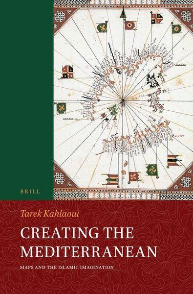
In Creating the Mediterranean: Maps and the Islamic Imagination Tarek Kahlaoui treats the subject of the Islamic visual representations of the Mediterranean. It tracks the history of the Islamic visualization of the sea from when geography was created by the Islamic state's bureaucrats of the tenth century C.E. located mainly in the central Islamic lands, to the later men of the field, specifically the sea captains from the fourteenth to the sixteenth centuries C.E. located in the western Islamic lands.
A narrative has emerged from this investigation in which the metamorphosis of the identity of the author or mapmaker seemed to be changing with the rest of the elements that constitute the identity of a map: its reader or viewer, its style and structure, and its textual content.
Kundinnen und Kunden meinen
Verfassen Sie die erste Bewertung zu diesem Artikel
Helfen Sie anderen Kund*innen durch Ihre Meinung