
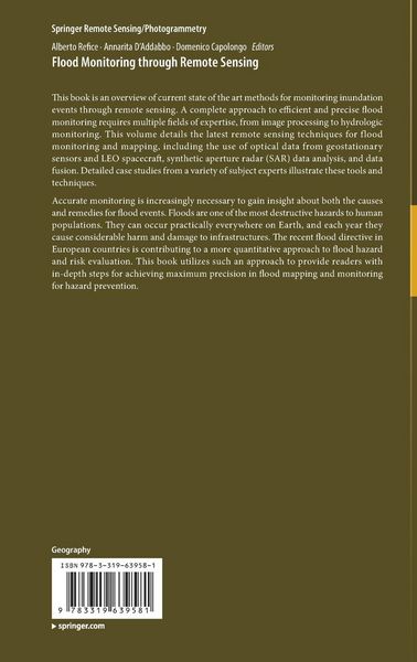
• Produktbild: Flood Monitoring through Remote Sensing
  • Produktbild: Flood Monitoring through Remote Sensing

Flood Monitoring through Remote Sensing

Fr. 192.00

inkl. gesetzl. MwSt., Versandkostenfrei


Beschreibung

Produktdetails

Einband

Gebundene Ausgabe

Erscheinungsdatum

01.12.2017

Abbildungen

VIII, 81 illus., 69 illus. in color., farbige Illustrationen, schwarz-weiss Illustrationen

Herausgeber

Alberto Refice + weitere

Verlag

Springer

Seitenzahl

209

Maße (L/B/H)

24.1/16/1.8 cm

Gewicht

500 g

Auflage

1st edition 2018

Sprache

Englisch

ISBN

978-3-319-63958-1

Beschreibung

Portrait

Alberto Refice is a Researcher at CNR-ISSIA (Consiglio Nazionale delle Ricerche - Istituto di Studi sui Sistemi Intelligenti per l'Automazione), in Bari, Italy.

His main interests concern advanced processing techniques for remotely sensed data, especially from synthetic aperture radar (SAR). He is involved in several activities and projects on remote sensing data analysis, funded by national and international entities, mainly focused on applications involving monitoring of environmental hazards, geo-hydrological processes, and landscape evolution.

Annarita D’Addabbo is a Researcher at CNR-ISSIA (Consiglio Nazionale delle Ricerche - Istituto di Studi sui Sistemi Intelligenti per l'Automazione), in Bari, Italy.Her research activity is focused on the theoretical and experimental analysis of different classification methodologies, statistical models and machine learning techniques, applied to land cover change detection problems and to the monitoring of natural hazards from remote sensing data. She is involved in national and international projects concerning the development of automatic tools devoted to environmental hazard detection and mapping, including landslides and flood.

Domenico Capolongo is Associate Professor of Physical Geography and Geomorphology at the Earth and Environmental Science department University of Bari, Italy. His studies concern the processes responsible for shaping the Mediterranean landscapes. In particular, he focuses on the spatial and temporal distributions of geomorphological processes at different scales in a high-rate evolving environment. He is involved in development and application of  remote sensing and computer simulation techniques, as tools for qualitative and quantitative insight into geomorphological systems and landscape dynamics. Dr. Capolongo is a Member of the Italian Association of Geomorphology (AIGEO).

Produktdetails

Einband

Gebundene Ausgabe

Erscheinungsdatum

01.12.2017

Abbildungen

VIII, 81 illus., 69 illus. in color., farbige Illustrationen, schwarz-weiss Illustrationen

Herausgeber

Verlag

Springer

Seitenzahl

209

Maße (L/B/H)

24.1/16/1.8 cm

Gewicht

500 g

Auflage

1st edition 2018

Sprache

Englisch

ISBN

978-3-319-63958-1

Herstelleradresse

Springer-Verlag KG
Sachsenplatz 4-6
1201 Wien
AT

Email: GPSR Kontakt

Noch keine Bewertungen vorhanden

Verfassen Sie die erste Bewertung zu diesem Artikel

Helfen Sie anderen Kundinnen und Kunden durch Ihre Meinung.

Kundinnen und Kunden meinen

Bewertungen (0)

  • Produktbild: Flood Monitoring through Remote Sensing
  • Produktbild: Flood Monitoring through Remote Sensing
  • Chapter1. Methods, techniques and sensors for precision flood monitoring through remote sensing.-Chapter2. Remote sensing as a tool for analysing channel dynamics and geomorphic effects of floods.- Chapter3. The use of DEM-based approaches to derive a priori information on flood-prone areas.- Chapter4. River Flood Forecasting System: An Intedisciplinary Approach.- Chapter5. Monitoring flood extent and area through multi-sensor, multi-temporal remote sensing: the Strymonas (Greece) river flood.- Chapter6. Adaptive SAR image processing techniques to support flood monitoring from Earth Observation data.- Chapter7. ­Flood Mapping in Vegetated and Urban Areas and other Challenges: Models and Methods.- Chapter8. Data fusion through Bayesian methods for flood monitoring from remotely sensed data.