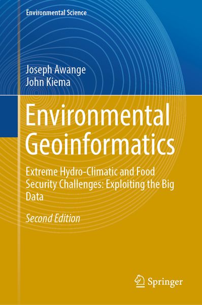
Environmental Geoinformatics Extreme Hydro-Climatic and Food Security Challenges: Exploiting the Big Data
Aus der Reihe
Environmental Science
Fr. 202.00
inkl. gesetzl. MwSt.,
Beschreibung
Produktdetails
Einband
Gebundene Ausgabe
Erscheinungsdatum
17.01.2019
Abbildungen
XXIV, 248 illus., 233 illus. in color., schwarz-weiss Illustrationen, farbige Illustrationen
Verlag
SpringerSeitenzahl
635
Maße (L/B/H)
24.1/16/4.1 cm
Gewicht
1144 g
Auflage
Second Edition 2019
Sprache
Englisch
ISBN
978-3-030-03016-2
This second edition includes updated chapters from the first edition as well as five additional new chapters (Light detection and ranging (LiDAR), CORONA historical de-classified products, Unmanned Aircraft Vehicles (UAVs), GNSS-reflectometry and GNSS applications to climate variability), shifting the main focus from monitoring and management to extreme hydro-climatic and food security challenges and exploiting big data. Since the publication of first edition, much has changed in terms of technology, and the demand for geospatial data has increased with the advent of the big data era. For instance, the use of laser scanning has advanced so much that it is unavoidable in most environmental monitoring tasks, whereas unmanned aircraft vehicles (UAVs)/drones are emerging as efficient tools that address food security issues as well as many other contemporary challenges. Furthermore, global navigation satellite systems (GNSS) are now responding to challenges posed by climate change by unravelling the impacts of teleconnection (e.g., ENSO) as well as advancing the use of reflected signals (GNSS-reflectometry) to monitor, e.g., soil moisture variations. Indeed all these rely on the explosive use of “big data” in many fields of human endeavour.
Moreover, with the ever-increasing global population, intense pressure is being exerted on the Earth’s resources, leading to significant changes in its land cover (e.g., deforestation), diminishing biodiversity and natural habitats, dwindling fresh water supplies, and changing weather and climatic patterns (e.g., global warming, changing sea level). Environmental monitoring techniques that provide information on these are under scrutiny from an increasingly environmentally conscious society that demands the efficient delivery of such information at a minimal cost. Environmental changes vary both spatially and temporally, thereby putting pressure on traditional methods of data acquisition, some of which are highly labour intensive, such as animal tracking for conservation purposes. With these challenges, conventional monitoring techniques, particularly those that record spatial changes call for more sophisticated approaches that deliver the necessary information at an affordable cost. One direction being pursued in the development of such techniques involves environmental geoinformatics, which can act as a stand-alone method or complement traditional methods.
Moreover, with the ever-increasing global population, intense pressure is being exerted on the Earth’s resources, leading to significant changes in its land cover (e.g., deforestation), diminishing biodiversity and natural habitats, dwindling fresh water supplies, and changing weather and climatic patterns (e.g., global warming, changing sea level). Environmental monitoring techniques that provide information on these are under scrutiny from an increasingly environmentally conscious society that demands the efficient delivery of such information at a minimal cost. Environmental changes vary both spatially and temporally, thereby putting pressure on traditional methods of data acquisition, some of which are highly labour intensive, such as animal tracking for conservation purposes. With these challenges, conventional monitoring techniques, particularly those that record spatial changes call for more sophisticated approaches that deliver the necessary information at an affordable cost. One direction being pursued in the development of such techniques involves environmental geoinformatics, which can act as a stand-alone method or complement traditional methods.
Noch keine Bewertungen vorhanden
Verfassen Sie die erste Bewertung zu diesem Artikel
Helfen Sie anderen Kundinnen und Kunden durch Ihre Meinung.