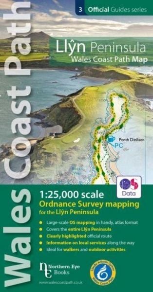
Llyn Peninsula Coast Path Map (WCP) 1:25 000 scale OS mapping for the Llyn Peninsula
-
- Englisch ausgewählt
Fr. 19.90
inkl. gesetzl. MwSt.,
-
Kostenlose Lieferung ab Fr. 30 Einkaufswert
Schweiz & Liechtenstein:
Versandkostenfrei ab Fr. 30.00
Versandkosten bis Fr. 30.00: Fr. 3.50Andere Lieferländer
Fr. 18.00 unabhängig vom Warenwert
Beschreibung
Produktdetails
Einband
Taschenbuch
Erscheinungsdatum
08.09.2020
Verlag
Northern Eye BooksSeitenzahl
48
Maße (L/B/H)
21.3/11.3/0.7 cm
Gewicht
111 g
Sprache
Englisch
ISBN
978-1-908632-60-9
Enhanced, large scale (1:25,000) Ordnance Survey mapping in a handy atlas format with all the mapping you need to walk the Llyn Peninsula section of the Wales Coast Path. Continuous OS mapping covering the Wales Coast Path between Bangor and Porthmadog. Contains extracts from large scale Explorer maps 253 and 254. - Large scale OS mapping for the complete coast of the Llyn Peninsula in a handy atlas format. - Highlighted official route of the Wales Coast Path. - On-map symbols showing amenities at main towns and villages. - Introduction with attractive photo mosaic. - Additional useful information
Kundinnen und Kunden meinen
Verfassen Sie die erste Bewertung zu diesem Artikel
Helfen Sie anderen Kund*innen durch Ihre Meinung