Martin Waldseemüller’s 'Carta marina' of 1516 Study and Transcription of the Long Legends
-
- Englisch ausgewählt
Fr. 73.90
inkl. gesetzl. MwSt.,
Beschreibung
Produktdetails
Einband
Gebundene Ausgabe
Erscheinungsdatum
22.10.2019
Abbildungen
VII, 55 illus., 45 illus. in color., schwarz-weiss Illustrationen, farbige Illustrationen
Verlag
SpringerSeitenzahl
150
Maße (L/B/H)
28.5/21.5/1.4 cm
Gewicht
869 g
Auflage
1st ed. 2020
Sprache
Englisch
ISBN
978-3-030-22702-9
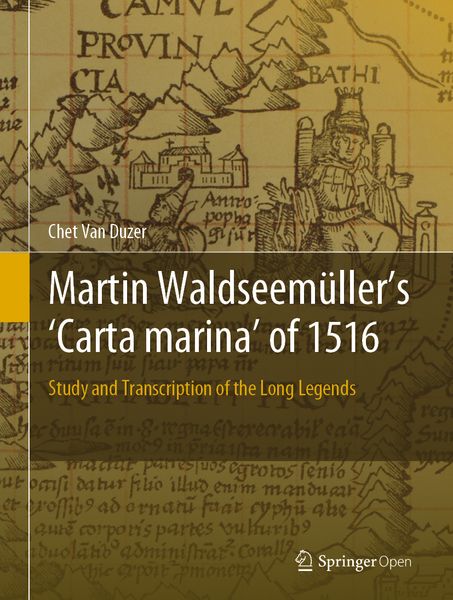
This open access book presents the first detailed study of one of the most important masterpieces of Renaissance cartography, Martin Waldseemüller’s Carta marina of 1516. By transcribing, translating into English, and detailing the sources of all of the descriptive texts on the map, as well as the sources of many of the images, the book makes the map available to scholars in a wholly unprecedented way.
In addition, the book provides revealing insights into how Waldseemüller went about making the map -- information that can’t be found in any other source. The Carta marina is the result of Waldseemüller’s radical re-evaluation of what a world map should be; he essentially started from scratch when he created it, rejecting the Ptolemaic model and other sources he had used in creating his 1507 map, and added more descriptive texts and a wealth of illustrations. Given its content, the book offers an essential reference work not only on this map, but also for anyone working in sixteenth-century European cartography.
In addition, the book provides revealing insights into how Waldseemüller went about making the map -- information that can’t be found in any other source. The Carta marina is the result of Waldseemüller’s radical re-evaluation of what a world map should be; he essentially started from scratch when he created it, rejecting the Ptolemaic model and other sources he had used in creating his 1507 map, and added more descriptive texts and a wealth of illustrations. Given its content, the book offers an essential reference work not only on this map, but also for anyone working in sixteenth-century European cartography.
Noch keine Bewertungen vorhanden
Verfassen Sie die erste Bewertung zu diesem Artikel
Helfen Sie anderen Kundinnen und Kunden durch Ihre Meinung.