European Waterways Map and Concise Directory 1:1.500.000
-
- Englisch ausgewählt
Fr. 38.90
inkl. gesetzl. MwSt.,
Beschreibung
Produktdetails
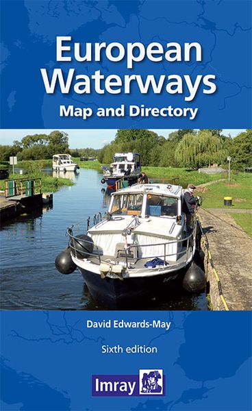
Those planning to cruise through Europe need an overview of the routes available to reach their destination. This map shows all the waterways at a glance, making it the ideal planning tool for recreational boaters and other users of Europe’s extensive waterway network.
- Pull-out folding map, double-sided, 121 x 87 cm
- Larger-scale detail of the central European network 1:1 500 000
- Complete overview of Europe’s waterways at a scale of 1:3 800 000
- 62-page directory of essential information for boaters, country by country
The map and detailed booklet give information on characteristics of the waterways, locks and local restrictions on draught and air draught, plus the contact details of waterway authorities and associations.
The booklet accompanying the map includes many colour photos and larger-scale maps of particular areas. The map has a legend in English, French, German and Dutch (booklet in English only)
Kundinnen und Kunden meinen
Verfassen Sie die erste Bewertung zu diesem Artikel
Helfen Sie anderen Kund*innen durch Ihre Meinung