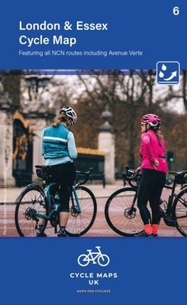
London and Essex Cycle Map 6
-
- Englisch ausgewählt
Fr. 15.90
inkl. gesetzl. MwSt.,
-
Kostenlose Lieferung ab Fr. 30 Einkaufswert
Schweiz & Liechtenstein:
Versandkostenfrei ab Fr. 30.00
Versandkosten bis Fr. 30.00: Fr. 3.50Andere Lieferländer
Fr. 18.00 unabhängig vom Warenwert
Beschreibung
Produktdetails
Einband
Karte
Erscheinungsdatum
13.06.2022
Verlag
CordeeMaße (L/B/H)
16.4/10.3/1.5 cm
Gewicht
48 g
Sprache
Englisch
ISBN
978-1-904207-75-7
Second in a new series of cycle maps covering the whole country. The London and Essex map covers from Uxbridge in the west to Harwich in the east. As far north as Luton and Halstead and as far south as Canterbury and Leatherhead. The maps are all produced at a scale of 1:100 000 showing important features including the National cycle Network. Sections on road, off road and traffic free are all shown in differing colours along with their route number. Other roads and their classification are shown enabling you to link rides or explore sections and discover new routes at home or further afield. Facilities such as toilets, pubs, accommodation, bike shops, repair stations and railway stations are all shown. The mapping also has relief shading giving you a clear picture of the terrain you are likely to encounter. Scale: 100 000 (10mm = 1 Km, 16mm = 1 Mile) Folded size: 163mm x 105mm Unfolded: 650mm x 800mm Tear and water-resistant paper Double sided
Noch keine Bewertungen vorhanden
Verfassen Sie die erste Bewertung zu diesem Artikel
Helfen Sie anderen Kundinnen und Kunden durch Ihre Meinung.