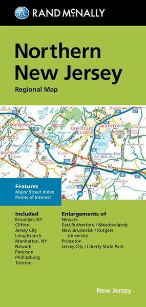
Rand McNally Folded Map: Northern New Jersey Regional Map
-
- Englisch ausgewählt
Fr. 14.90
inkl. gesetzl. MwSt.,
-
Kostenlose Lieferung ab Fr. 30 Einkaufswert
Schweiz & Liechtenstein:
Versandkostenfrei ab Fr. 30.00
Versandkosten bis Fr. 30.00: Fr. 3.50Andere Lieferländer
Fr. 18.00 unabhängig vom Warenwert
Beschreibung
Produktdetails
Einband
Taschenbuch
Erscheinungsdatum
12.08.2022
Verlag
Rand McnallyMaße (L/B/H)
22.8/10.9/0.5 cm
Gewicht
53 g
Sprache
Englisch
ISBN
978-0-528-02558-7
Rand McNally's folded map for Northern New Jersey is a must-have for anyone traveling in and around this part of New Jersey, offering unbeatable accuracy and reliability at a great price. Our trusted cartography shows all Interstate, U.S., state, and county highways, along with clearly indicated parks, points of interest, airports, county boundaries, and streets. The easy-to-use legend and detailed index make for quick and easy location of destinations. You'll see why Rand McNally folded maps have been the trusted standard for years. - Regularly updated. - Full-color maps. - Clearly labeled Interstate, U.S., state, and county highways. - Indications of parks, points of interest, airports, county boundaries, shopping malls, downtown & vicinity maps. - Easy-to-use legend. - Detailed index & full street index. - Convenient folded size. Coverage Area Communities Included: Brooklyn, NY, Clifton, Jersey City, Long Branch, Manhattan, NY, Newark, Paterson, Phillipsburg, Trenton. Product Details: Measures 9.5' x 4' and folds out to 40' x 28'.
Noch keine Bewertungen vorhanden
Verfassen Sie die erste Bewertung zu diesem Artikel
Helfen Sie anderen Kundinnen und Kunden durch Ihre Meinung.