Zhang, C: Multi-sensor System Applications in the Everglades
-
- Hardcover
- Taschenbuch ausgewählt
- eBook
-
Sprache:Englisch
Fr. 89.90
inkl. gesetzl. MwSt.,
Beschreibung
Produktdetails
Einband
Taschenbuch
Erscheinungsdatum
21.01.2023
Abbildungen
farbige Illustrationen
Verlag
Taylor & FrancisSeitenzahl
358
Maße (L/B)
25.4/17.8 cm
Gewicht
980 g
Sprache
Englisch
ISBN
978-1-03-247487-8
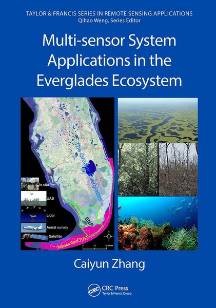
This book explores the applicability of multiple remote sensors to acquire information relevant to restoration and conservation efforts in wetlands using data collected from airborne and space multispectral/hyperspectral sensors, light detection and ranging (LiDAR), Unmanned Aircraft Systems (UAS), and a hand-held spectroradiometer. This book also examines digital data processing techniques such as object-based image analysis, machine learning, texture analysis, and data fusion. After an introduction to the Everglades and to remote sensing, the book is divided into four parts based on the sensor systems used. There are chapters on vegetation mapping, biomass and water quality modeling, applications of hyperspectral data for plant stress analysis and coral reef mapping, studies of airborne LiDAR data for coastal vulnerability analysis and DEM improvement, as well as chapters that explore a fusion of multiple sensors for different datasets.
Features
- Introduces concepts, theories, and advanced processing techniques
- A complete introduction of machine learning, object-based image analysis, data fusion, and ensemble analysis techniques in processing data from multiple remote sensors
- Explains how multiple remote sensing systems are applied in the wetland ecosystems of Florida
- The author had been teaching and using both systems and her research is widely recognized
Multi-sensor System Applications in the Everglades Ecosystems provides a comprehensive application of remote sensing techniques in the Florida Everglades and its coastal ecosystems. It will prove an invaluable resource for the restoration and conservation of the Florida Everglades and beyond, for global wetlands in general. Any professional, scientist, engineer, or student working with remote sensing and wetland ecosystems will reap enormous benefits from this book.
Noch keine Bewertungen vorhanden
Verfassen Sie die erste Bewertung zu diesem Artikel
Helfen Sie anderen Kundinnen und Kunden durch Ihre Meinung.