Beschreibung
Produktdetails
Einband
Taschenbuch
Erscheinungsdatum
04.07.2024
Verlag
HarperCollinsSeitenzahl
72
Maße (L/B/H)
24.6/17/0.3 cm
Gewicht
144 g
Sprache
Englisch
ISBN
978-0-00-865282-1
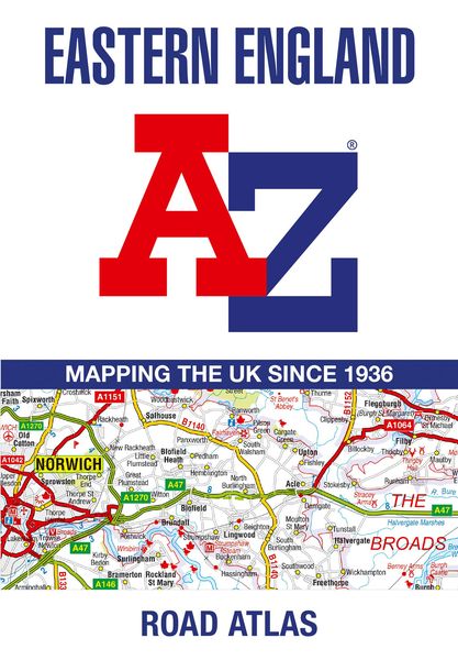
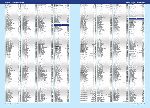
A full-colour, regional road atlas from A-Z Maps. Featuring more than 50 pages of continuous mapping of regions in the east of England.
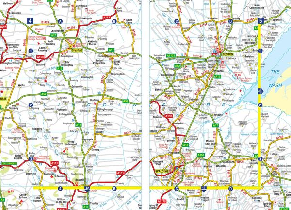
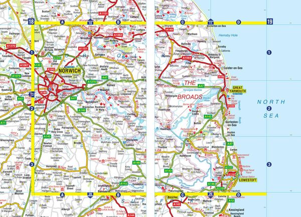
Published at a clear 2.5 miles to 1 inch the following features are shown on the road mapping:
- Motorways with full junction detail, primary routes and destinations, A & B roads, under construction and proposed roads, service areas, tolls, mileages, county and unitary authority boundaries
- National Park boundaries
- Selected places of interest and tourist information centres
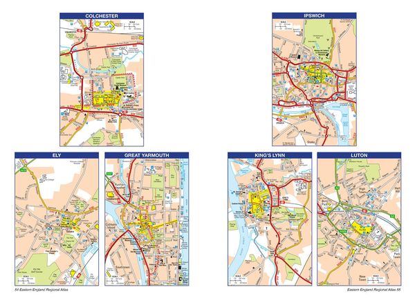
- Separate city, town, airport, and port plans
The comprehensive index section lists cities, towns, villages, hamlets and locations covered by this atlas.
Kundinnen und Kunden meinen
Verfassen Sie die erste Bewertung zu diesem Artikel
Helfen Sie anderen Kund*innen durch Ihre Meinung