Beschreibung
Produktdetails
Einband
Karte
Erscheinungsdatum
01.06.2019
Verlag
Karttakeskus oyMaße (L/B/H)
12.9/26.8/0.9 cm
Gewicht
70 g
Sprache
Englisch
ISBN
978-952-266-579-9
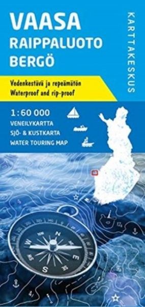
Karttakeskus' Water touring maps are a completely new type of map series. The pre-folded maps made of waterproof and rip-proof material can fit into a small space on the boat, but when opened, they cover a wide area. In this way, the water touring map is e.g. an excellent planning tool alongside electronic navigation solutions, offering a wide overview for e.g. route planning. On the other hand, the waterproof material makes the map easy to handle in e.g. an open boat or sailing boat. Water touring maps:¿In land areas, the maps have been supplemented with the National Land Survey of Finland's Topographic Database material.¿New map sheet division.¿Size 70 × 100 cm, folded 23.3 × 11.3 cm.¿Additional themes incl. slipways and camp fire sites and landfalls.¿Scale in maritime areas 1:60 000, inland waterways 1:50 000
Kundinnen und Kunden meinen
Verfassen Sie die erste Bewertung zu diesem Artikel
Helfen Sie anderen Kund*innen durch Ihre Meinung