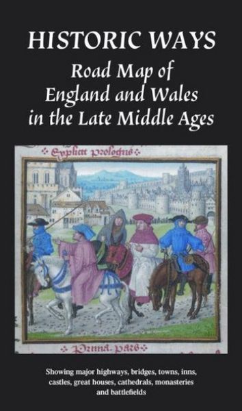
Historic Ways Road Map of England and Wales in the Late Middle Ages Showing major highways, bridges, towns, inns, castles, great houses, cathedrals, monasteries and battlefields
-
- Englisch ausgewählt
Fr. 31.90
inkl. gesetzl. MwSt.,
Beschreibung
Produktdetails
Einband
Karte
Erscheinungsdatum
14.07.2025
Verlag
Historic WaysMaße (L/B/H)
13.4/22.7/1.6 cm
Gewicht
100 g
Sprache
Englisch
ISBN
978-1-03-692379-2
The map was developed through a lifetime's research, including on-the-ground exploration. It offers an ideal way to explore the Middle Ages at home and plan visits.
Kundinnen und Kunden meinen
Verfassen Sie die erste Bewertung zu diesem Artikel
Helfen Sie anderen Kund*innen durch Ihre Meinung