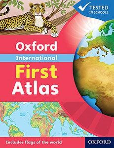

Oxford International First Atlas (2011)
-
- Englisch ausgewählt
Fr. 18.90
inkl. gesetzl. MwSt.,
-
Kostenlose Lieferung ab Fr. 30 Einkaufswert
Schweiz & Liechtenstein:
Versandkostenfrei ab Fr. 30.00
Versandkosten bis Fr. 30.00: Fr. 3.50Andere Lieferländer
Fr. 18.00 unabhängig vom Warenwert
Beschreibung
Produktdetails
Einband
Taschenbuch
Erscheinungsdatum
03.02.2011
Abbildungen
Full colour
Herausgeber
Patrick WiegandVerlag
Oxford University Press TradeMaße (L/B/H)
23.2/18.8/0.3 cm
Gewicht
107 g
Sprache
Englisch
ISBN
978-0-19-848020-4
The Oxford International First Atlas is a stimulating first atlas for young children, designed to introduce early map skills and inspire curiosity about the world. Completely up-to-date, it features accurate, easy-to-read, and colourful mapping in a layout based on research into how young children use maps.
Have you ever wondered:
• What the Earth looks like from space?
• How many continents there are?
• Where Mount Everest is?
Find out in your very first atlas!
Key Features:
• Perfect for Early Learners: Introduces young children to maps and develops early atlas skills.
• Comprehensive Coverage: Includes an introduction to the globe and places around the world.
• Engaging Visuals: Stunning Earth-from-space images, clear maps of the world and continents, and popular themes such as world animals and holidays.
• Fascinating Facts: Includes fun facts about places and people to spark curiosity.
• Interactive Learning: Accompanied by an Activity Book for independent work to develop map literacy skills.
This atlas is the ideal resource for introducing young learners to geography and encouraging exploration of the world.
Noch keine Bewertungen vorhanden
Verfassen Sie die erste Bewertung zu diesem Artikel
Helfen Sie anderen Kundinnen und Kunden durch Ihre Meinung.