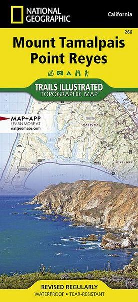
Mount Tamalpais, Point Reyes Map
-
- Englisch ausgewählt
Fr. 15.90
inkl. gesetzl. MwSt.,
-
Kostenlose Lieferung ab Fr. 30 Einkaufswert
Schweiz & Liechtenstein:
Versandkostenfrei ab Fr. 30.00
Versandkosten bis Fr. 30.00: Fr. 3.50Andere Lieferländer
Fr. 18.00 unabhängig vom Warenwert
Beschreibung
Produktdetails
Einband
Karte
Erscheinungsdatum
30.10.2011
Verlag
National geographicMaße (L/B/H)
24.1/11.3/0.8 cm
Gewicht
96 g
Auflage
2023rd edition
Sprache
Englisch
ISBN
978-1-56695-576-8
National Geographic's Trails Illustrated Maps are the most detailed and up-to-date topographic recreation maps available for US National Parks, National Forests and other popular outdoor recreation areas. A necessity for exploring the outdoors, each map is printed on waterproof, tear-resistant material. They also contain key safety and contact information, GPS and compass coordinates, Leave No Trace ethical guidelines and hundreds of points-of-interest, including scenic viewpoints, campgrounds, boat launches, swimming areas, marine sanctuaries and wildlife refuges.
Noch keine Bewertungen vorhanden
Verfassen Sie die erste Bewertung zu diesem Artikel
Helfen Sie anderen Kundinnen und Kunden durch Ihre Meinung.