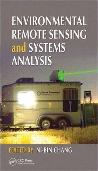
Environmental Remote Sensing and Systems Analysis
Fr. 273.00
inkl. gesetzl. MwSt.,
Beschreibung
Produktdetails
Einband
Gebundene Ausgabe
Erscheinungsdatum
23.03.2012
Herausgeber
Ni-Bin ChangVerlag
Taylor & FrancisSeitenzahl
520
Maße (L/B/H)
24.1/16.5/5.3 cm
Gewicht
2077 g
Sprache
Englisch
ISBN
978-1-4398-7743-2
"Preface: In the last few decades, rapid urbanization and industrialization have altered the priority of environmental protection and restoration of air, soil, and water quality many times. Yet it is recognized that the sustainable management of human society is necessary at all phases of impact from the interactions between energy, environment, ecology, public health, and socioeconomic paradigms. The multidisciplinary nature of this concern for sustainability is truly a challenging task that requires employing a systems analysis approach. Such a systems analysis approach links several disciplinary areas with each other to promote the concept of sustainable management. Just as a sophisticated piece of music involves many different instruments played in unison, systems analysis requires a holistic viewpoint and a plethora of tools in sensing, monitoring, and modeling that have to be woven together to explore the state and function of air, water, and land resources at all levels. With the aid of systems analysis, this comprehensive collection includes a variety of research work that results from years of experience and that reflects the contemporary advances of remote sensing technologies. This unique publication presents and applies the most recent synergy of remote sensing technologies that will advance the overall understanding of the sensitivity of key environmental quality issues in relation to human perturbations. These perturbations can be caused by collective or individual impacts of economic development and globalization, population growth and migration, and climate change on atmospheric, terrestrial, and aquatic environmental systems"--
Noch keine Bewertungen vorhanden
Verfassen Sie die erste Bewertung zu diesem Artikel
Helfen Sie anderen Kundinnen und Kunden durch Ihre Meinung.