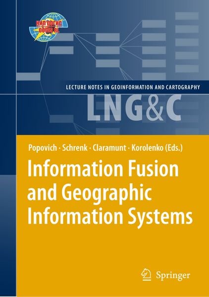
Information Fusion and Geographic Information Systems Proceedings of the Fourth International Workshop, 17-20 May 2009
Aus der Reihe
Lecture Notes in Geoinformation and Cartography
-
- Hardcover
- Taschenbuch ausgewählt
- eBook
-
Sprache:Englisch
-
Auflage:Softcover reprint of hardcover 1st edition 2009
Fr. 192.00
inkl. gesetzl. MwSt.,
Beschreibung
Produktdetails
Einband
Taschenbuch
Erscheinungsdatum
28.10.2010
Abbildungen
XIII, 372 p. 139 illus.
Herausgeber
Vasily V. Popovich + weitereVerlag
Springer BerlinSeitenzahl
372
Maße (L/B/H)
23.5/15.5/2.1 cm
Gewicht
587 g
Auflage
Softcover reprint of hardcover 1st edition 2009
Sprache
Englisch
ISBN
978-3-642-10138-0
This volume contains the papers presented at the International Workshop “Information Fusion and Geographic Information Systems” (IF&GIS’09) held in St. Petersburg, Russia in May 2009. The workshop was organized by the St. Petersburg Institute for Informatics and Automation of the Russian Academy of Sciences (SPIIRAS). The workshop continues a series organised biannually, and attracts academics and industrials from a wide range of disciplines including computer science, geography, statistics, mathematics, hydrography, geomorphology, and environmental sciences. The objective of this workshop is to provide a forum for innovative research oriented towards Geographic Information Science and tech- logies and Corporate Information Systems whose close association highlight novel theoretical and practical challenges. The papers selected by the International Program Committee cover a wide range of innovative areas including ontological and semantic approaches for the representation of geographical data, geographical data monitoring, situation management and forecast, to emerging applications oriented to the maritime environment, disaster management and security threats. While traditional topics of GIS conferences are well represented and still being advanced, several new domains appear and stress the need for the development of versatile monitoring systems and decision making systems. While GIS already have a de facto standard for geographical monitoring and analysis, the papers accepted in this volume also illustrate several novel directions of application whose objective is more closely oriented to process modeling and decision making, and where the nature of the objects represented is revisited using ontological and semantic approaches.
Noch keine Bewertungen vorhanden
Verfassen Sie die erste Bewertung zu diesem Artikel
Helfen Sie anderen Kundinnen und Kunden durch Ihre Meinung.