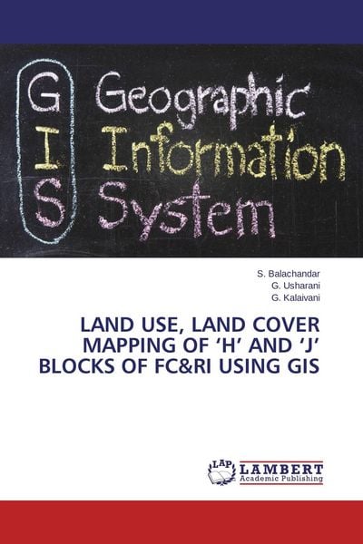
Land Use, Land Cover Mapping of 'H' and 'J' Blocks of FC&RI using GIS
-
- Englisch ausgewählt
Fr. 51.90
inkl. gesetzl. MwSt.,
Beschreibung
Produktdetails
Einband
Taschenbuch
Erscheinungsdatum
23.02.2014
Verlag
LAP LAMBERT Academic PublishingSeitenzahl
56
Maße (L/B/H)
22/15/0.4 cm
Gewicht
102 g
Auflage
1. Auflage
Sprache
Englisch
ISBN
978-3-8484-8900-8
This book will give a complete idea about the digitization, ground truthing and mapping of earth surface using Geographic information system (GIS). This book was clearly manuscript into various chapters for easy understanding and completed with the help of various GIS specialist. The software used here was Arc.GIS-10. it is very easy and accessible to all format of operating systems. The maps were digitized in false colour composites.
Noch keine Bewertungen vorhanden
Verfassen Sie die erste Bewertung zu diesem Artikel
Helfen Sie anderen Kundinnen und Kunden durch Ihre Meinung.