Modern Trends in Cartography Selected Papers of CARTOCON 2014
-
- Hardcover ausgewählt
- Taschenbuch
- eBook
-
Sprache:Englisch
Fr. 192.00
inkl. gesetzl. MwSt.,
Beschreibung
Produktdetails
Einband
Gebundene Ausgabe
Erscheinungsdatum
11.12.2014
Abbildungen
XXIII, 116 illus., 79 illus. in color., schwarz-weiss Illustrationen, farbige Illustrationen
Herausgeber
Jan Brus + weitereVerlag
SpringerSeitenzahl
534
Maße (L/B/H)
24.1/16/3.6 cm
Gewicht
967 g
Auflage
2015
Sprache
Englisch
ISBN
978-3-319-07925-7
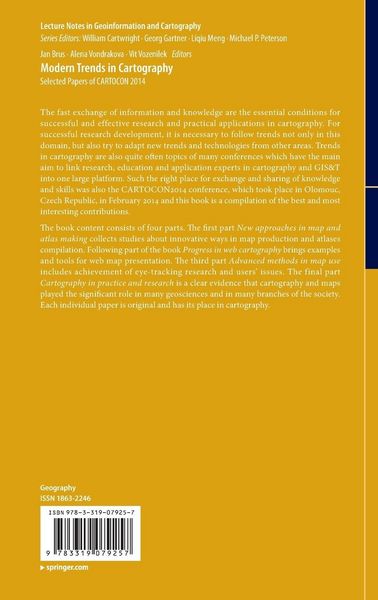
The fast exchange of information and knowledge are the essential conditions for successful and effective research and practical applications in cartography. For successful research development, it is necessary to follow trends not only in this domain, but also try to adapt new trends and technologies from other areas. Trends in cartography are also quite often topics of many conferences which have the main aim to link research, education and application experts in cartography and GIS&T into one large platform. Such the right place for exchange and sharing of knowledge and skills was also the CARTOCON2014 conference, which took place in Olomouc, Czech Republic, in February 2014 and this book is a compilation of the best and most interesting contributions.
The book content consists of four parts. The first part New approaches in map and atlas making collects studies about innovative ways in map production and atlases compilation. Following part of the book Progress in web cartography brings examples and tools for web map presentation. The third part Advanced methods in map use includes achievement of eye-tracking research and users’ issues. The final part Cartography in practice and research is a clear evidence that cartography and maps played the significant role in many geosciences and in many branches of the society. Each individual paper is original and has its place in cartography.Kundinnen und Kunden meinen
Verfassen Sie die erste Bewertung zu diesem Artikel
Helfen Sie anderen Kund*innen durch Ihre Meinung