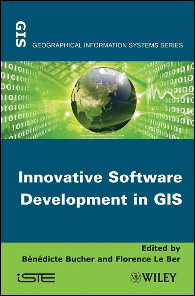
Innovative Software Development in GIS
-
Form:Einzelkauf Download
-
Sprache:Englisch
-
eBook Format:ePUB
- PDF Fr. 115.00
- ePUB Fr. 115.00 ausgewählt
Fr. 115.00
inkl. gesetzl. MwSt.Beschreibung
Produktdetails
Format
ePUB
Kopierschutz
Ja
Family Sharing
Nein
Text-to-Speech
Ja
Erscheinungsdatum
21.05.2013
Herausgeber
Benedicte Bucher + weitereVerlag
WileySeitenzahl
352 (Printausgabe)
Dateigröße
4378 KB
Auflage
1. Auflage
Sprache
Englisch
EAN
9781118614259
At a time when people use more and more geographic information
and tools, the management of geographical information in software
systems still holds many challenges and motivates researchers from
different backgrounds to propose innovative solutions.
Representing geographical space beyond our mere perception is key
to making relevant decisions, whether it is with respect to
sustainable development or to the planning of everyday activities.
Designing, sharing and exploiting such representations entails many
challenges.
This book presents recent software design projects, led in teams,
which sometimes have different backgrounds, to address these
challenges. It analyzes the specificities of these projects in
terms of motivation, data models and analysis methods. Proposals
are also put forward to improve resource sharing in this
domain.
Contents
1. Introduction, Bénédicte Bucher and Florence Le
Ber.
Part 1. Software Presentation
2. ORBISGIS: Geographical Information System Designed by and for
Research, Erwan Bocher and Gwendall Petit.
3. GEOXYGENE: an Interoperable Platform for Geographical
Application Development, Éric Grosso, Julien Perret and
Mickaël Brasebin.
4. Spatiotemporal Knowledge Representation in AROM-ST, Bogdan
Moisuc, Alina Miron, Marlène Villanova-Olivier and
Jérôme Gensel.
5. GENGHIS: an Environment for the Generation of Spatiotemporal
Visualization Interfaces, Paule-Annick Davoine, Bogdan Moisuc and
Jérôme Gensel.
6. GEOLIS: a Logical Information System to Organize and Search
Geo-Located Data, Olivier Bedel, Sébastien Ferré and
Olivier Ridoux.
7. GENEXP-LANDSITES: a 2D Agricultural Landscape Generating Piece
of Software, Florence Le Ber and Jean-François Mari.
8. MDWEB: Cataloging and Locating Environmental Resources,
Jean-Christophe Desconnets and Thérèse Libourel.
9. WEBGEN: Web Services to Share Cartographic Generalization Tools,
Moritz Neun, Nicolas Regnauld and Robert Weibel.
Part 2. Summary and Suggestions
10. Analysis of the Specificities of Software Development in
Geomatics Research, Florence Le Ber and Bénédicte
Bucher.
11. Challenges and Proposals for Software Development Pooling in
Geomatics, Bénédicte Bucher, Julien Gaffuri, Florence Le
Ber and Thérèse Libourel.
and tools, the management of geographical information in software
systems still holds many challenges and motivates researchers from
different backgrounds to propose innovative solutions.
Representing geographical space beyond our mere perception is key
to making relevant decisions, whether it is with respect to
sustainable development or to the planning of everyday activities.
Designing, sharing and exploiting such representations entails many
challenges.
This book presents recent software design projects, led in teams,
which sometimes have different backgrounds, to address these
challenges. It analyzes the specificities of these projects in
terms of motivation, data models and analysis methods. Proposals
are also put forward to improve resource sharing in this
domain.
Contents
1. Introduction, Bénédicte Bucher and Florence Le
Ber.
Part 1. Software Presentation
2. ORBISGIS: Geographical Information System Designed by and for
Research, Erwan Bocher and Gwendall Petit.
3. GEOXYGENE: an Interoperable Platform for Geographical
Application Development, Éric Grosso, Julien Perret and
Mickaël Brasebin.
4. Spatiotemporal Knowledge Representation in AROM-ST, Bogdan
Moisuc, Alina Miron, Marlène Villanova-Olivier and
Jérôme Gensel.
5. GENGHIS: an Environment for the Generation of Spatiotemporal
Visualization Interfaces, Paule-Annick Davoine, Bogdan Moisuc and
Jérôme Gensel.
6. GEOLIS: a Logical Information System to Organize and Search
Geo-Located Data, Olivier Bedel, Sébastien Ferré and
Olivier Ridoux.
7. GENEXP-LANDSITES: a 2D Agricultural Landscape Generating Piece
of Software, Florence Le Ber and Jean-François Mari.
8. MDWEB: Cataloging and Locating Environmental Resources,
Jean-Christophe Desconnets and Thérèse Libourel.
9. WEBGEN: Web Services to Share Cartographic Generalization Tools,
Moritz Neun, Nicolas Regnauld and Robert Weibel.
Part 2. Summary and Suggestions
10. Analysis of the Specificities of Software Development in
Geomatics Research, Florence Le Ber and Bénédicte
Bucher.
11. Challenges and Proposals for Software Development Pooling in
Geomatics, Bénédicte Bucher, Julien Gaffuri, Florence Le
Ber and Thérèse Libourel.
Noch keine Bewertungen vorhanden
Verfassen Sie die erste Bewertung zu diesem Artikel
Helfen Sie anderen Kundinnen und Kunden durch Ihre Meinung.