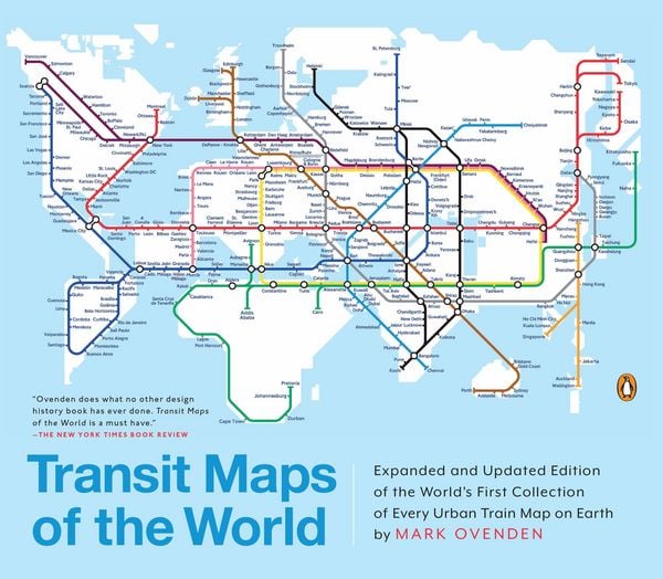

Transit Maps of the World Expanded and Updated Edition of the World's First Collection of Every Urban Train Map on Earth
-
- Englisch ausgewählt
Fr. 51.90
inkl. gesetzl. MwSt.,
Beschreibung
Produktdetails
Einband
Taschenbuch
Erscheinungsdatum
03.11.2015
Verlag
Penguin PutnamSeitenzahl
176
Maße (L/B/H)
27.4/23.8/1.5 cm
Gewicht
675 g
Sprache
Englisch
ISBN
978-0-14-312849-6
A completely updated and expanded edition of the cult bestseller, featuring subway, light rail, and streetcar maps from New York to Nizhny Novgorod.
Transit Maps of the World is the first and only comprehensive collection of historical and current maps of every rapid-transit system on earth. In glorious, colorful graphics, Mark Ovenden traces the cartographic history of mass transit—including rare and historic maps, diagrams, and photographs, some available for the first time since their original publication.
Now expanded with thirty-six more pages, 250 city maps revised from previous editions, and listings given from almost a thousand systems in total, this is the graphic designer’s new bible, the transport enthusiast’s dream collection, and a coffee-table essential for everyone who’s ever traveled in a city.
Transit Maps of the World is the first and only comprehensive collection of historical and current maps of every rapid-transit system on earth. In glorious, colorful graphics, Mark Ovenden traces the cartographic history of mass transit—including rare and historic maps, diagrams, and photographs, some available for the first time since their original publication.
Now expanded with thirty-six more pages, 250 city maps revised from previous editions, and listings given from almost a thousand systems in total, this is the graphic designer’s new bible, the transport enthusiast’s dream collection, and a coffee-table essential for everyone who’s ever traveled in a city.
Noch keine Bewertungen vorhanden
Verfassen Sie die erste Bewertung zu diesem Artikel
Helfen Sie anderen Kundinnen und Kunden durch Ihre Meinung.