Philip'S Maps: Philip's Europe Road Map
-
- Englisch ausgewählt
Fr. 16.90
inkl. gesetzl. MwSt.,
-
Kostenlose Lieferung ab Fr. 30 Einkaufswert
Schweiz & Liechtenstein:
Versandkostenfrei ab Fr. 30.00
Versandkosten bis Fr. 30.00: Fr. 3.50Andere Lieferländer
Fr. 18.00 unabhängig vom Warenwert
Beschreibung
Produktdetails
Einband
Karte
Erscheinungsdatum
10.06.2021
Verlag
Octopus BooksMaße (L/B/H)
13.2/25.1/0.9 cm
Gewicht
94 g
Sprache
Englisch
ISBN
978-1-84907-557-2
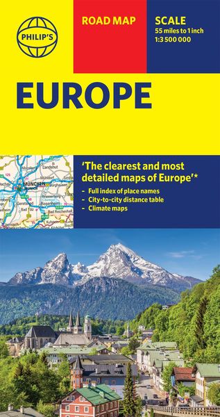
For all your holiday and travel needs, the latest up-to-date edition of Philip's super-clear map of Europe.
'The Clearest and Most Detailed Maps of Europe' David Williams MBE, former CEO Gem Motoring Assist
The perfect all-inclusive map for planning and using on your European Road Trip:
- The Main scale is super-clear 1: 3,890,000 (61 miles to 1 inch)
- All of Europe is covered from Southern Portugal to Northern Russia
- Fully updated with all the latest information for travelling in Europe
- Handy Weather Maps for both Summer and Winter travels
- City-to-City Distance Table for estimating your journeys
- All the important information for motoring: motorways (toll, pre-pay and free), mountain passes, railways, road numbers (European and local), distances between towns
In fact, everything you need for driving in Europe. Every country is covered from Portugal to Russia and it is a double-sided map for easy in-car use. Follow the sun (or the snow) and make the most of this small, but extraordinarily culture-packed continent.
Noch keine Bewertungen vorhanden
Verfassen Sie die erste Bewertung zu diesem Artikel
Helfen Sie anderen Kundinnen und Kunden durch Ihre Meinung.