KI-Beratung Beta

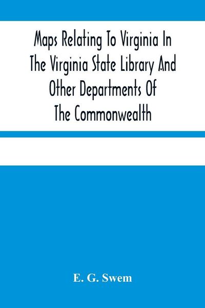
Produktbild: Maps Relating To Virginia In The Virginia State Library And Other Departments Of The Commonwealth

Maps Relating To Virginia In The Virginia State Library And Other Departments Of The Commonwealth With The 17Th And 18Th Century Atlas-Maps In The Library Of Congress

Fr. 34.90

inkl. gesetzl. MwSt., Versandkostenfrei


Beschreibung

Trace Virginia's changing shores and shifting borders through the maps that first defined them. These old maps remember everything. Compiled by bibliographer E. G. Swem, "Maps Relating to Virginia in the Virginia State Library and Other Departments of the Commonwealth" is a landmark virginia historical...

Beschreibung

Trace Virginia's changing shores and shifting borders through the maps that first defined them. These old maps remember everything. Compiled by bibliographer E. G. Swem, "Maps Relating to Virginia in the Virginia State Library and Other Departments of the Commonwealth" is a landmark virginia historical map catalog and concise virginia map bibliography. It brings together early American Virginia maps from public offices of the Commonwealth, the seventeenth century atlas maps and eighteenth century Virginia cartography preserved in the Library of Congress map collection, forming an indispensable cartographic reference for Virginia and for anyone drawn to colonial Virginia maps. Each entry is carefully described, guiding Virginia history researchers through shifting boundaries and settlements across 17th and 18th century Virginia. As a genealogy research reference Virginia families can rely on, it helps readers locate the very sheets on which ancestral plantations, towns and counties first appeared within the early American cartography collection. Scholars, collectors and local historians alike encounter here a precise record of how a colony - and then a state - was imagined, claimed and drawn. Out of print for decades and now republished by Alpha Editions. Restored for today's and future generations. More than a reprint - a collector's item and a cultural treasure. This careful modern edition invites both casual lovers of maps and serious collectors to hold in their hands a foundational guide to Virginia's mapped landscape and to keep a key piece of cartographic heritage alive.

Produktdetails

Einband

Taschenbuch

Erscheinungsdatum

15.03.2021

Verlag Alpha Editions
Seitenzahl

236

Produktdetails

Einband

Taschenbuch

Erscheinungsdatum

15.03.2021

Verlag Alpha Editions
Seitenzahl

236

Maße (L/B/H)

22.9/15.2/1.4 cm

Gewicht

390 g

Sprache

Englisch

ISBN

978-93-5448-107-9

Herstelleradresse

Libri GmbH
Europaallee 1
36244 Bad Hersfeld
DE

Email: gpsr@libri.de

Noch keine Bewertungen vorhanden

Verfassen Sie die erste Bewertung zu diesem Artikel

Helfen Sie anderen Kundinnen und Kunden durch Ihre Meinung.

Kundinnen und Kunden meinen

Bewertungen (0)

  • Produktbild: Maps Relating To Virginia In The Virginia State Library And Other Departments Of The Commonwealth