Beschreibung
Produktdetails
Einband
Gebundene Ausgabe
Erscheinungsdatum
01.05.2023
Abbildungen
101 color + 14 b/w illus.
Verlag
Yale University PressSeitenzahl
229
Maße (L/B/H)
25.6/23.4/2.1 cm
Gewicht
1114 g
Sprache
Englisch
ISBN
978-0-300-24751-0
A fascinating exploration of how the growth of digital mapping, spurred by sensing technologies, is affecting cities and daily lives
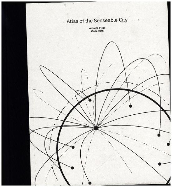
What have smart technologies taught us about cities? What lessons can we learn from today's urbanites to make better places to live? Antoine Picon and Carlo Ratti argue that the answers are in the maps we make. For centuries, we have relied on maps to navigate the enormity of the city. Now, as the physical world combines with the digital world, we need a new generation of maps to navigate the city of tomorrow. Pervasive sensors allow anyone to visualize cities in entirely new ways--ebbs and flows of pollution, traffic, and internet connectivity. This book explores how the growth of digital mapping, spurred by sensing technologies, is affecting cities and daily lives. It examines how new cartographic possibilities aid urban planners, technicians, politicians, and administrators; how digitally mapped cities could reveal ways to make cities smarter and more efficient; how monitoring urbanites has political and social repercussions; and how the proliferation of open-source maps and collaborative platforms can aid activists and vulnerable populations. With its beautiful, accessible presentation of cutting-edge research, this book makes it easy for readers to understand the stakes of the new information age--and appreciate the timeless power of the city.Noch keine Bewertungen vorhanden
Verfassen Sie die erste Bewertung zu diesem Artikel
Helfen Sie anderen Kundinnen und Kunden durch Ihre Meinung.