Beschreibung
Produktdetails
Einband
Mappe gefaltet
Erscheinungsdatum
01.10.2022
Herausgeber
Imray IolaireVerlag
FB ImraySeitenzahl
2
Maße (L/B/H)
23.7/33.1/0.7 cm
Gewicht
220 g
Sprache
Englisch
ISBN
978-1-78679-416-1
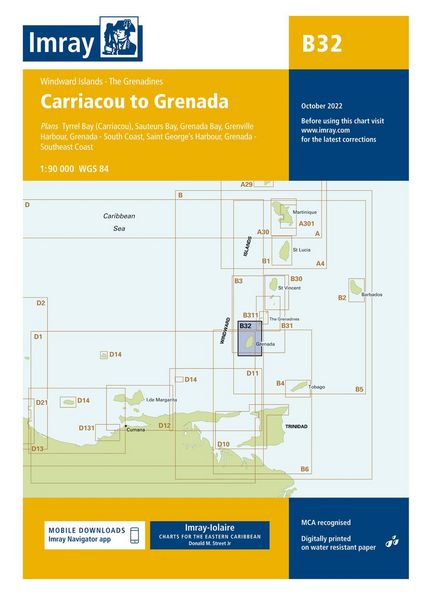
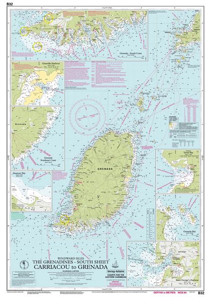
Plans included: Tyrell Bay (Carriacou) (1:17 500) Sauteurs Bay (1:10 000) Grenada Bay (1:30 000) Grenville Harbour (1:15 000) Grenada - Southeast Coast (1:45 000) Grenada - South Coast (1:40 000) Saint George''s Harbour (1:12 500) Imray-Iolaire charts for the Caribbean are widely acknowledged as the best available for the cruising sailor. They combine the latest official survey Digital with first-hand information gathered over 60 years of research by Don Street Jr and his wide network of contributors. Like all Imray charts, they are printed on water resistant Pretex paper for durability, and they include many anchorages, facilities and inlets not included on official charts. This edition includes the latest official Digital combined with additional information sourced from Imray''s network to make it ideal for small craft. It includes the latest official bathymetric surveys. New to this edition is the inclusion of a harbour plan of Sauteurs Bay. There has been general updating throughout.
Noch keine Bewertungen vorhanden
Verfassen Sie die erste Bewertung zu diesem Artikel
Helfen Sie anderen Kundinnen und Kunden durch Ihre Meinung.