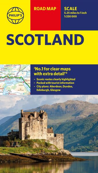
Philip'S Maps: Philip's Scotland Road Map
-
- Englisch ausgewählt
Fr. 16.90
inkl. gesetzl. MwSt.,
-
Kostenlose Lieferung ab Fr. 30 Einkaufswert
Schweiz & Liechtenstein:
Versandkostenfrei ab Fr. 30.00
Versandkosten bis Fr. 30.00: Fr. 3.50Andere Lieferländer
Fr. 18.00 unabhängig vom Warenwert
Beschreibung
Produktdetails
Einband
Karte
Erscheinungsdatum
20.06.2024
Verlag
Octopus BooksMaße (L/B/H)
25.2/13.2/1.1 cm
Gewicht
116 g
Sprache
Englisch
ISBN
978-1-84907-683-8
'THE CLEAREST AND MOST DETAILED MAPS OF EUROPE' David Williams MBE, former CEO Gem Motoring Assist
Philip's latest super-clear road map of Scotland and its islands - fully updated with the latest tourist, heritage and driving information for the best travelling experience.
The bestselling fold-out road map for navigating in Scotland has been completely updated for anyone wanting to visit the lowlands, highlands and islands, including the Western Isles, the Orkney and Shetland Islands. Whether driving through the most spectacular scenic routes in the Highlands or planning your trip from Edinburgh to Inverness, this handy map has all you need.
- Super-clear mapping scale 1:330,000 (5.25 miles to 1 inch)
- Key driving information: motorways, railways, ferry routes, road numbers, plus distances between towns
- Fully revised and up-to-date with the latest tourist and leisure information
- Scenic routes clearly highlighted
- Places of interest added: from castles, heritage sites, beaches and national parks to theme parks, places of worship and ancient monuments
- Includes the islands and sights of the Western Isles and the Orkney and Shetland Islands
- Double-sided maps - more for your money and easier to use
- Detailed city plans: Aberdeen, Dundee, Edinburgh and Glasgow
- Full index of place names
In fact, everything you need for motoring in Scotland
Noch keine Bewertungen vorhanden
Verfassen Sie die erste Bewertung zu diesem Artikel
Helfen Sie anderen Kundinnen und Kunden durch Ihre Meinung.