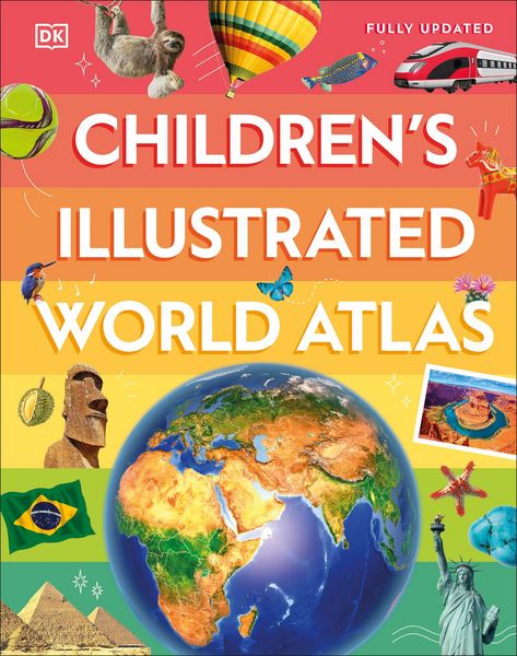
Children's Illustrated World Atlas
-
Sprache:Englisch
-
Verlag:Random House N.Y.
Fr. 25.90
inkl. gesetzl. MwSt.,
-
Kostenlose Lieferung ab Fr. 30 Einkaufswert
Schweiz & Liechtenstein:
Versandkostenfrei ab Fr. 30.00
Versandkosten bis Fr. 30.00: Fr. 3.50Andere Lieferländer
Fr. 18.00 unabhängig vom Warenwert
Beschreibung
Produktdetails
Einband
Gebundene Ausgabe
Altersempfehlung
9 - 12 Jahr(e)
Erscheinungsdatum
09.07.2024
Verlag
Random House N.Y.Seitenzahl
144
Maße (L/B/H)
27.7/22/1.7 cm
Gewicht
856 g
Sprache
Englisch
ISBN
978-0-593-84272-0
Discover the world map-by-map with this exciting world atlas book for children, featuring more than 50 maps! Each page is filled with fascinating information, facts and colorful illustrations of our world.
Children aged 9-12 will love to learn all about the many countries, cultures and people of the world through vibrant maps. Fascinating facts, local stories, vivid pictures, and clear, satellite-based maps together make this atlas a global yet personal experience for young readers.
This illustrated atlas book for children offers:
- Bite-sized information giving the profiles, facts, stats and flags of every country.
- Pictures and stories explaining the society, culture and history of each region.
- Maps created using satellite imagery providing a clear view of the world map-by-map.
- A variety of topics covered, including population density, wealth, and internet access shown through graphics.
From Bangkok's floating markets to the carnival in Venice, the Children's Illustrated World Atlas brings together views from windows all over the world. This illustrated atlas not only portrays regions, such as the Siberian wastes, with beautifully detailed maps but also describes the peoples who live there.
Kundinnen und Kunden meinen
Verfassen Sie die erste Bewertung zu diesem Artikel
Helfen Sie anderen Kund*innen durch Ihre Meinung