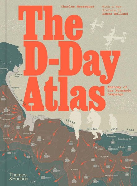
The D-Day Atlas Anatomy of the Normandy Campaign
-
- Englisch ausgewählt
Fr. 46.90
inkl. gesetzl. MwSt.,
Beschreibung
Produktdetails
Einband
Gebundene Ausgabe
Erscheinungsdatum
16.05.2024
Abbildungen
Original book scanned and proofed, Original book scanned and proofed, farbige Illustrationen
Verlag
Thames and HudsonSeitenzahl
176
Maße (L/B/H)
30/22.6/2 cm
Gewicht
1080 g
Sprache
Englisch
ISBN
978-0-500-29764-3
A vivid re-creation of the D-Day invasion and its aftermath, told through detailed maps, authoritative text by a noted military historian and contemporary photographs.
This powerful study chronicles the evolution of the invasion plan and culminates in a day-by-day account of the landings by sea and by air on the Normandy beaches, followed by the grim six-week struggle to break through the German defences. An important feature is the space devoted to the German point of view, based on the latest archival research, and the organization of the French Resistance in northern and western France.
At the heart of the book are 71 maps in full colour, many drawing in detail on those used by the Allies in 1944. Specially commissioned reconstruction drawings and contemporary photographs help bring the beaches and bocage of Normandy to life.
Noch keine Bewertungen vorhanden
Verfassen Sie die erste Bewertung zu diesem Artikel
Helfen Sie anderen Kundinnen und Kunden durch Ihre Meinung.