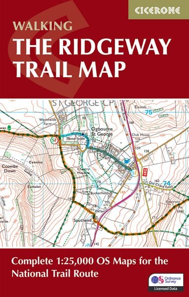
The Ridgeway Trail Map Complete 1:25,000 OS Maps for the National Trail Route
-
- Englisch ausgewählt
Fr. 21.90
inkl. gesetzl. MwSt.,
-
Kostenlose Lieferung ab Fr. 30 Einkaufswert
Schweiz & Liechtenstein:
Versandkostenfrei ab Fr. 30.00
Versandkosten bis Fr. 30.00: Fr. 3.50Andere Lieferländer
Fr. 18.00 unabhängig vom Warenwert
Beschreibung
Produktdetails
Einband
Taschenbuch
Erscheinungsdatum
25.05.2026
Verlag
Cicerone Press LimitedSeitenzahl
56
Maße (L/B/H)
16.6/10.6/0.5 cm
Gewicht
60 g
Auflage
2 Revised edition
Sprache
Englisch
ISBN
978-1-78631-292-1
Warnhinweis
Dieser Hinweis kann lt. Artikel 9 Absatz 7 Satz 2 der GPSR entfallen, da das Produkt auch ohne Anweisungen und Sicherheitsinformationen sicher und wie vom Hersteller vorgesehen verwendet werden kann.
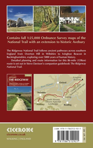
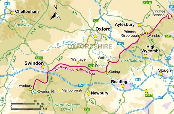
A booklet of all the mapping needed to complete the Ridgeway National Trail between Avebury in Wiltshire and Ivinghoe Beacon in Buckinghamshire. Covering 139km (87 miles), this mostly low-level route is suitable for all abilities and takes 6 to 9 days to hike.
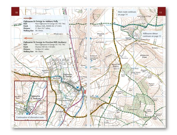
The full route line is shown on
1:25,000 OS maps
The trail map can be used to
walk the trail in either direction
Sized to easily
fit in a jacket pocket
Detours and diversions
to nearby historical and archaeological sites are also provided
An
accompanying Cicerone guidebook
– Walking the Ridgeway – is also available, which includes a copy of this map booklet
The relevant extract from the
OS Explorer map legend
is included
Noch keine Bewertungen vorhanden
Verfassen Sie die erste Bewertung zu diesem Artikel
Helfen Sie anderen Kundinnen und Kunden durch Ihre Meinung.