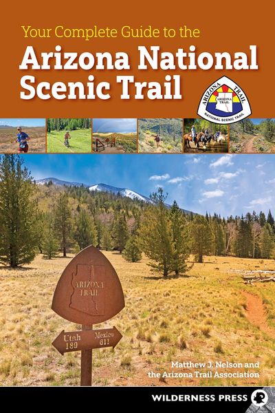
Your Complete Guide to the Arizona National Scenic Trail
-
- Hardcover
- Taschenbuch ausgewählt
- eBook
-
Sprache:Englisch
-
Verlag:Wilderness Press
Fr. 36.90
inkl. gesetzl. MwSt.,
Beschreibung
Produktdetails
Einband
Taschenbuch
Erscheinungsdatum
07.09.2027
Abbildungen
Color maps and photos throughout
Verlag
Wilderness PressSeitenzahl
320
Maße (L/B/H)
22.9/15.2/1.9 cm
Auflage
2nd Revised edition
Sprache
Englisch
ISBN
978-1-64359-123-0
Plan an unforgettable journey along the Arizona National Scenic Trail, with diverse landscapes that beckon hikers, cyclists, and equestrians.
Stretching more than 800 miles from the USA-Mexico border to the Utah state line, the Arizona National Scenic Trail (AZT) passes through a breathtaking blend of desert, forest, and canyon terrain. To hike the best of it—or to backpack the entire route—get the comprehensive guide assembled by AZT experts. Your Complete Guide to the Arizona National Scenic Trail lives up to its name: It is your complete guide to the trail’s twists and turns, flora and fauna, geology, and more.
Written by trail-savvy members of the Arizona Trail Association, including executive director Matthew J. Nelson, this guidebook serves up the AZT, section by section, so day-hikers and thru-hikers can feel confident about the entire route. An irreplaceable source of information for anyone—including mountain bikers and equestrians—Your Complete Guide to the Arizona National Scenic Trail fuels your adventures from start to finish, presenting the trail’s magnificent scenery, wildlife, and diversity of terrain.
Inside you’ll find:
- The entire trail divided into 43 sections
- Unique trail features, route details, day-trip options, and difficulty levels for every section
- Guide to resources in 22 welcoming Gateway Communities
- Chart of water sources along the AZT
- Nearly 50 detailed maps that highlight every AZT passage
- Full-color photography that portrays the majesty of this national treasure
Noch keine Bewertungen vorhanden
Verfassen Sie die erste Bewertung zu diesem Artikel
Helfen Sie anderen Kundinnen und Kunden durch Ihre Meinung.