Beschreibung
Produktdetails
Einband
Paperback
Herausgeber
Shunlin LiangVerlag
Elsevier Science & TechnologyMaße (B/H)
21.5/27.6 cm
Gewicht
450 g
Auflage
2. Auflage
Sprache
Englisch
ISBN
978-0-443-13220-9
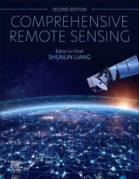
Remote sensing, which involves monitoring Earth s environment from airborne platforms and satellites, is rapidly advancing. Researchers from diverse backgrounds increasingly use remotely sensed data. The new edition of "Comprehensive Remote Sensing" meets their need for up-to-date, in-depth information on various aspects of the field, from principles and data analysis to applications. Containing over 100 chapters from world experts in the field, this edition includes all recent developments, with a focus on satellite missions, sensors, models, practical inversion algorithms, high-level products and applications.
In addition to governments, many private companies are launching satellites. Advances in computing power and data storage have enabled massive data processing and analysis. Consequently, remote sensing has become essential for geographers, oceanographers, meteorologists, physicists, computer scientists, and others. "Comprehensive Remote Sensing" addresses this diversity with structured chapters that begin with fundamental concepts and principles, followed by reviews of the latest developments and a comprehensive list of references. It is a valuable resource for readers at various levels of specialization.
Volume 1 focuses on satellite missions and sensors. Volume 2 covers various data processing techniques, including cloud and shadow detection, analysis-ready data (ARD) techniques for high-resolution data, and machine learning methods. Volumes 3-8 discuss advances in new inversion methods and high-level satellite products that characterize the spatio-temporal variations in essential environmental variables under a changing climate. Volume 9 highlights remote sensing applications, which have entered a new era with the availability of vast high-resolution satellite and UAV observations.
In addition to governments, many private companies are launching satellites. Advances in computing power and data storage have enabled massive data processing and analysis. Consequently, remote sensing has become essential for geographers, oceanographers, meteorologists, physicists, computer scientists, and others. "Comprehensive Remote Sensing" addresses this diversity with structured chapters that begin with fundamental concepts and principles, followed by reviews of the latest developments and a comprehensive list of references. It is a valuable resource for readers at various levels of specialization.
Volume 1 focuses on satellite missions and sensors. Volume 2 covers various data processing techniques, including cloud and shadow detection, analysis-ready data (ARD) techniques for high-resolution data, and machine learning methods. Volumes 3-8 discuss advances in new inversion methods and high-level satellite products that characterize the spatio-temporal variations in essential environmental variables under a changing climate. Volume 9 highlights remote sensing applications, which have entered a new era with the availability of vast high-resolution satellite and UAV observations.
Noch keine Bewertungen vorhanden
Verfassen Sie die erste Bewertung zu diesem Artikel
Helfen Sie anderen Kundinnen und Kunden durch Ihre Meinung.