Beschreibung
Produktdetails
Format
Kopierschutz
Ja
Family Sharing
Nein
Text-to-Speech
Nein
Erscheinungsdatum
16.12.2004
Herausgeber
Peter Atkinson + weitereVerlag
Taylor & Francis eBooksSeitenzahl
440 (Printausgabe)
Dateigröße
7493 KB
Sprache
Englisch
EAN
9781420038101
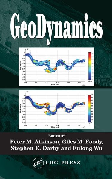
While remote sensing gives a surface depiction of the world, its recent convergence with GIS enables richer depictions that can be used to simulate physical processes, identify trends, and make more accurate predictions.
GeoDynamics is based on specialized lectures from an international field of experts, addressing remote sensing, spatially
GeoDynamics is based on specialized lectures from an international field of experts, addressing remote sensing, spatially
Noch keine Bewertungen vorhanden
Verfassen Sie die erste Bewertung zu diesem Artikel
Helfen Sie anderen Kundinnen und Kunden durch Ihre Meinung.