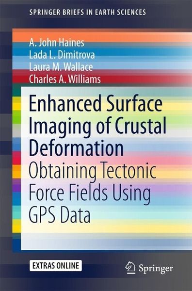
Enhanced Surface Imaging of Crustal Deformation Obtaining Tectonic Force Fields Using GPS Data
-
- Taschenbuch
- eBook ausgewählt
-
Form:Einzelkauf Download
-
Sprache:Englisch
Fr. 59.90
inkl. gesetzl. MwSt.Beschreibung
Produktdetails
Format
Kopierschutz
Nein
Family Sharing
Nein
Text-to-Speech
Nein
Erscheinungsdatum
11.08.2015
Verlag
SpringerSeitenzahl
99 (Printausgabe)
Dateigröße
23514 KB
Auflage
1st ed. 2015
Sprache
Englisch
EAN
9783319215785
This book takes an in depth look at a novel methodology for analyzing Global Positioning System (GPS) data to obtain the highest possible resolution surface imaging of tectonic deformation sources without prescribing the nature of either the sources or the subsurface medium. GPS methods are widely used to track the surface expression of crustal deformation at tectonic plate boundaries, and are typically expressed in terms of velocity fields or strain rate fields. Vertical derivatives of horizontal stress (VDoHS) rates at the Earth's surface can also be derived from GPS velocities, and VDoHS rates provide much higher resolution information about subsurface deformation sources than velocities or strain rates. In particular, VDoHS rates allow for high precision estimates of fault dips, slip rates and locking depths, as well as objective characterization of previously unknown (or hidden) tectonic deformation zones.
Noch keine Bewertungen vorhanden
Verfassen Sie die erste Bewertung zu diesem Artikel
Helfen Sie anderen Kundinnen und Kunden durch Ihre Meinung.