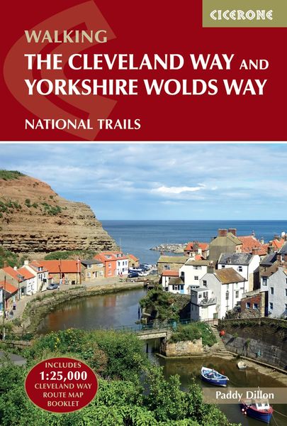
The Cleveland Way and the Yorkshire Wolds Way NATIONAL TRAILS
-
- Taschenbuch ausgewählt
- eBook
-
Sprache:Englisch
-
Auflage:3 Revised edition
Fr. 35.90
inkl. gesetzl. MwSt.,
Beschreibung
Produktdetails
Einband
Taschenbuch
Erscheinungsdatum
14.06.2024
Verlag
Cicerone Press LimitedSeitenzahl
192
Maße (L/B/H)
16.9/11.4/1.8 cm
Gewicht
298 g
Auflage
3 Revised edition
Sprache
Englisch
ISBN
978-1-78631-221-1
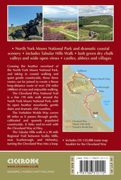
A guidebook to the Cleveland Way and Yorkshire Wolds Way National Trails and the Tabular Hills Walk. All set within the North York Moors National Park, these straightforward hikes can be walked individually in about 1 week or combined to form a long-distance walk of 405km (252 miles) taking 3 weeks.
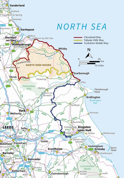
The Cleveland Way wraps its way around the national park covering 117km (110 miles) between Helmsley and Filey. The route is presented in 9 stages between 15 and 28km (10–17 miles) in length.
- Also contains route descriptions of the Yorkshire Wolds Way (130km, 80 miles) and the Tabular Hills Walk (80km, 50 miles)
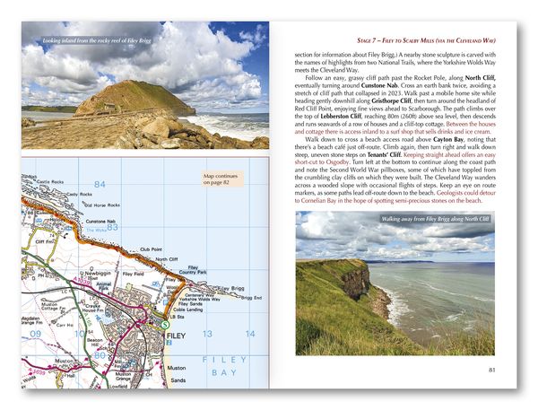
- Contains step-by-step description of the route alongside 1:50,000 OS maps
- Includes a separate map booklet containing OS 1:25,000 mapping and route line for the Cleveland Way
- The book features a trek planner that highlights information about accommodation, facilities and public transport along the route
- GPX files available to download
Kundinnen und Kunden meinen
Verfassen Sie die erste Bewertung zu diesem Artikel
Helfen Sie anderen Kund*innen durch Ihre Meinung