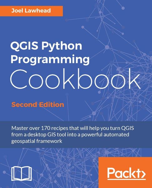
QGIS Python Programming Cookbook, Second Edition Automating geospatial development
-
- Taschenbuch
- eBook ausgewählt
-
Form:Einzelkauf Download
-
Sprache:Englisch
Fr. 49.00
inkl. gesetzl. MwSt.Beschreibung
Produktdetails
Format
ePUB
Kopierschutz
Nein
Family Sharing
Ja
Text-to-Speech
Ja
Erscheinungsdatum
14.03.2017
Verlag
Packt PublishingSeitenzahl
464 (Printausgabe)
Dateigröße
20521 KB
Sprache
Englisch
EAN
9781787121102
QGIS is a desktop geographic information system that facilitates data viewing, editing, and analysis. Paired with the most efficient scripting language-Python, we can write effective scripts that extend the core functionality of QGIS. Based on version QGIS 2.18, this book will teach you how to write Python code that works with spatial data to automate geoprocessing tasks in QGIS. It will cover topics such as querying and editing vector data and using raster data. You will also learn to create, edit, and optimize a vector layer for faster queries, reproject a vector layer, reduce the number of vertices in a vector layer without losing critical data, and convert a raster to a vector. Following this, you will work through recipes that will help you compose static maps, create heavily customized maps, and add specialized labels and annotations. As well as this, we'll also share a few tips and tricks based on different aspects of QGIS.
Noch keine Bewertungen vorhanden
Verfassen Sie die erste Bewertung zu diesem Artikel
Helfen Sie anderen Kundinnen und Kunden durch Ihre Meinung.